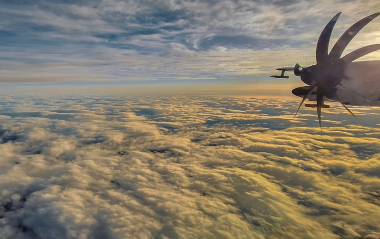
The sun rises over the Barents Sea
During the four weeks I have followed the CAESAR field campaign in Kiruna, the meteorological conditions have still not been ideal to study the phenomena we are interested in – Could Air Outbreaks. But we still have got six flights and now conditions are turning more favorable.
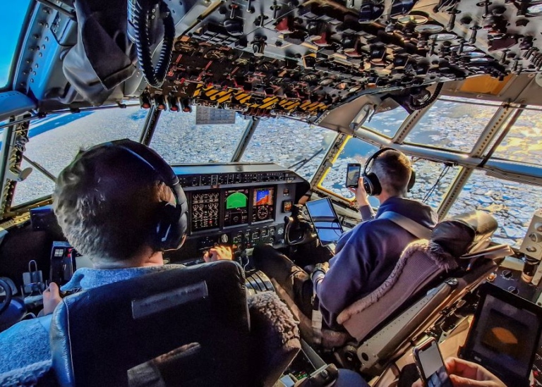
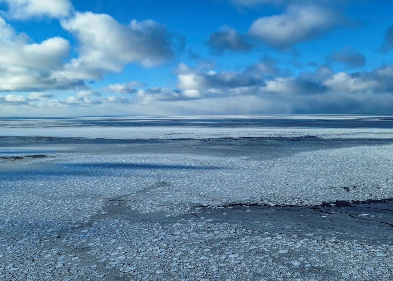
Today I had the chance to go on a research flight north to the sea ice south and east of Svalbard and it was a successful flight. The flight went north over the western part of the Barents Sea up to around the southern tip of Svalbard.
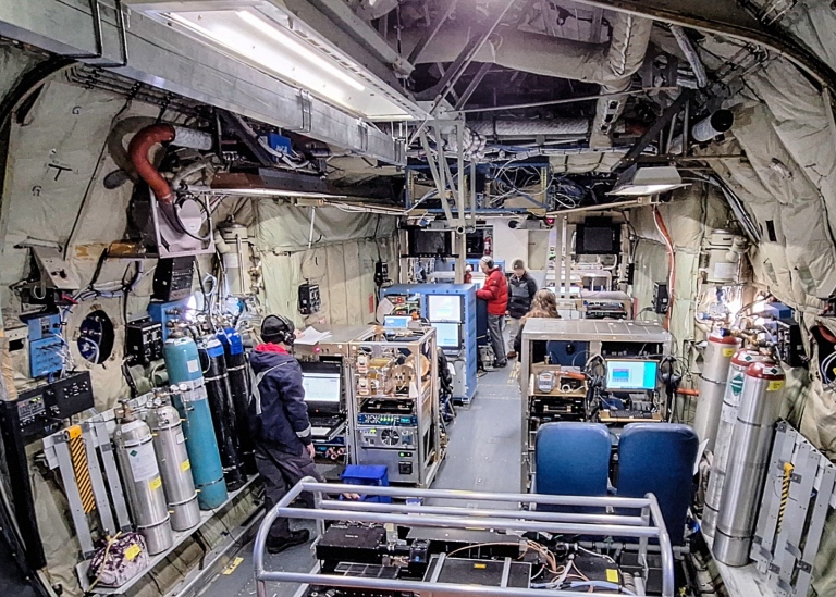
There were several parts: Flight legs at 5 km using remote sensing and drop sondes to study the air below the aircraft, long flight legs above and below clouds, so-called porpoise flights up and down several times between the lowest heights and through clouds, and one very long flight leg at the lowest height, around 150 m, from the ice and south out over open water.
At the moment we are forced to adapt take-off and landing times to the large NATO exercise, so in order to get a seven hour flight we had to start at dawn and could see the sun come up under our right wing.
Last updated: March 15, 2024
Source: MISU