Research project Physical and geothermal properties of Arctic Ocean sediments:
Boundary conditions required to improve assessments of marine hydrate stability and dissociation
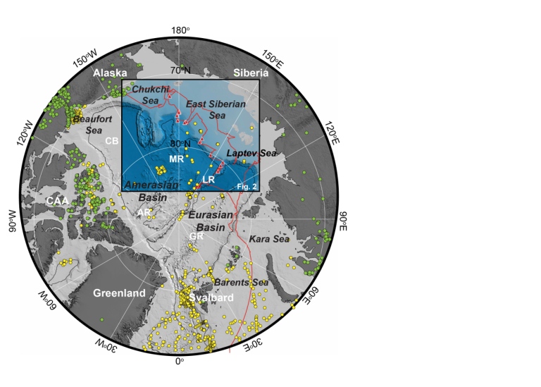
Vast quantities of methane are believed to be trapped within sediments on the continental shelves and slopes of the Arctic Ocean in the form of gas hydrate. Rising ocean temperatures could destabilise these deposts and result in large quantities of methane being released to the coean and atmosphere. Currently there is no consensus on how much gas hydrate exists around the edges of the Arctic Ocean. This project is designed to improve our ability to determine the amount of gas hydrate trapped within sediments along the East Siberian margin of the Arctic, and to provide data needed for modelling their response to Arctic warming.
Project description
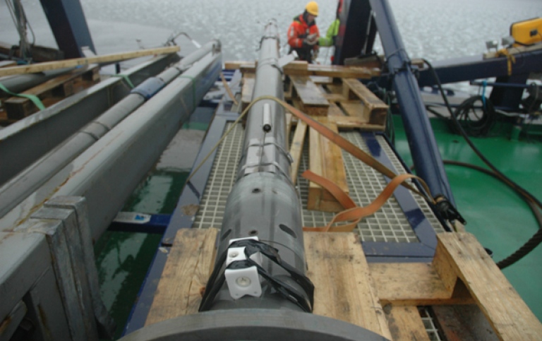
Warming of intermediate waters could trigger the widespread dissociation of marine hydrates on the continental slopes surrounding the Arctic Ocean. The associated release of methane into the water column and atmosphere is an unconstrained source of greenhouse gases, and may play a role in the acidification of Arctic water masses. The physical and geothermal properties of Arctic sediments are primary controls on the thickness of potential gas hydrate bearing sediments (thermal conductivity and geothermal gradient), the quantity of methane trapped within them (porosity) and the rate at which it could be released from the seafloor (permeability). This project was designed to improve our ability to assess the distribution and stability of gas hydrate deposits on the continental slopes of the Arctic by providing quantified assessments of in-situ porosity, permeability, thermal conductivity, and geothermal gradients for sediments along the Eurasian and East Siberian Sea margins of the Arctic Ocean. The project focused largely on the continental slope of the East Siberian Sea, collecting valuable new data from this sector of the Arctic Ocean during the SWERUS-C3 Program (Swedish-Russian-US Arctic Ocean Investigation of Climate-Cryosphere-Carbon Interactions) in 2014.