


Geodynamics
This course introduces advanced topics relevant to geodynamics such as the composition and evolution of the mantle and lithosphere, and the structure and mechanics of continental rifts and subduction/collisional orogens.
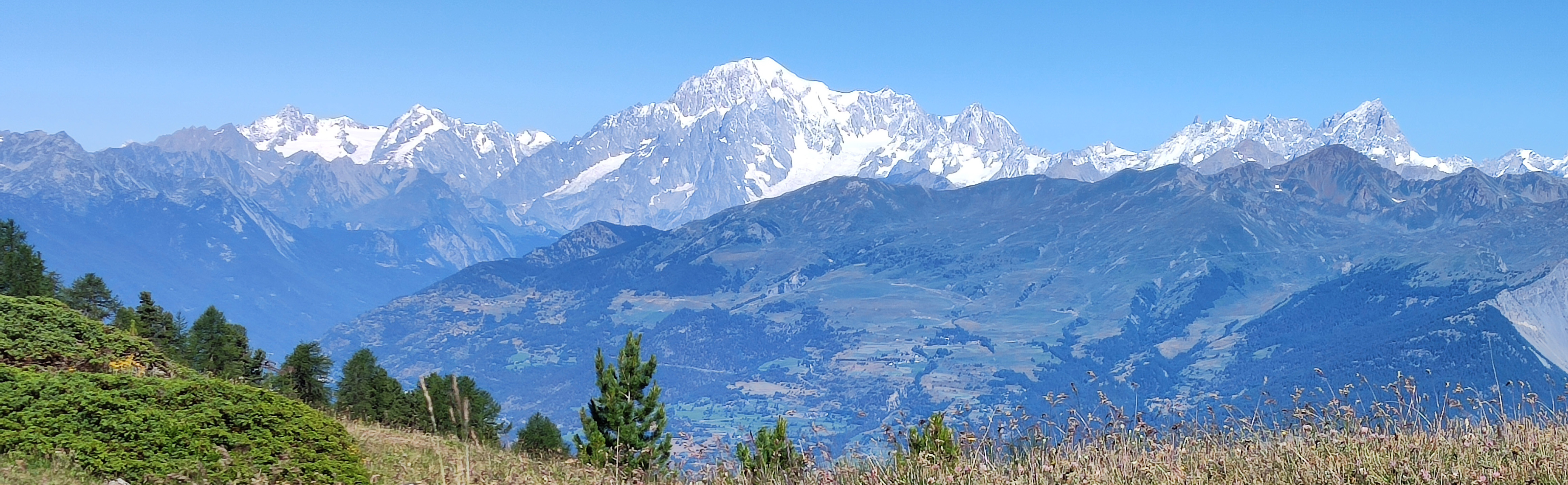
Panoramic view of the highest summit of the Alps (i.e. the Mont Blanch Massif) which is one of the latest consequences of the collision between Europe and Adria. Photo: Paola Manzotti
The course introduces a wide range of concepts necessary for integrating mantle and lithospheric processes into a plate tectonic framework, such as the i) theoretical basis for conceptualizing mantle flow and its consequences; ii) theoretical basis for understanding heat flow in the crust; iii) exhumation mechanisms of deep-seated crust related to orogeny. The course also provides an introduction to the numerical and analogue modelling of these parameters.
The course is equivalent to a full-time study load for a five week period. Teaching is conducted through lectures, projects, laboratories, and seminars. Weekly seminars will be based on reading and discussion of articles, projects as well as presentation of written and oral summaries.
After completion of this course, students should be able to:
- Apply and critically evaluate the key physical theories used to constrain the properties of the mantle and lithosphere and their mechanical behavior;
- Outline the thermodynamical constraints associated with heat-flow in the Earth’s crust, and apply thermodynamic modeling to constrain pressure-temperature paths as recorded by rocks;
- Describe and interpret geological data in order to extract relevant information for constraining geodynamical models.
- Analyze realistic plate tectonic scenarios in different geodynamic settings.
Download course description pdf, 86 kB.
*If the PDF file is not accessible for you to read, kindly contact studies@geo.su.se
Teaching Format
The course is designed to provide the theory which enables understanding geological data that are relevant for Earth crust and lithosphere evolution. The course therefore requires:
- Reading of course literature. This includes a topical manuscript per week and providing an oral presentation per article.
- Weekly project. These projects are linked to the weekly lecture and reading assignments, and include using geological data in order to constrain geodynamic models.
- Student-lead seminar. Each student will (co)lead the weekly discussion of the seminar topic based on the required reading. Success leading a seminar includes providing a short overview of the paper, summarizing its major points, and highlighting its strengths/weaknesses, and identifying points which require further clarification during seminar discussion.
- Seminar participation. Participation in seminar discussion is required - a demonstrated understanding of the discussion topic via dialogue (critical assessment, query, clarification, etc.) will be used to assess your participation.
Assessment
There is no final exam for this course. The final grade will be based on the following:
Map project (Intro week) 10% – a short 2-days map project. This assignment requires an individually written report and should demonstrate your knowledge of reading geological maps.
Weekly project 60% – a weekly project on the weekly topic (4 weeks, 4 projects). The projects are linked to the topics and reading assignments. This assignment requires an individually written report due each week and should demonstrate your understanding of the exercise and the weekly topic.
Seminar-Workshop (30%) – The Seminar-Workshop consists of two different moments. In the first one, students (divided in groups) will provide a short oral overview of the paper, summarizing its major points, highlighting strengths/weaknesses, and identifying points which require further clarification during seminar discussion. This first moment is associated with the preparation of a Power Point Presentation. The evaluation will consider (i) the demonstrated knowledge and comprehension of reading assignments via active participation in discussion and direct queries and (ii) leading the seminar demonstrating preparation, e.g. – pre-defined questions/points of discussion. In the second moment, the project will be presented by the students and discussed together.
*If the PDF file is not accessible for you to read, kindly contact studies@geo.su.se
Course evaluations allow the possibility to affect and take responsibility for your own learning and gives important information for our work with pedagogical development.
It's important that all students complete the course evaluations after each course, it gives the Department the opportunity to improve the courses' quality.
The course evaluation is composed of a number of questions and specific questions for each course. If you, as a student, want to contribute with more course specific questions you may send them to studies@geo.su.se.
If you haven't received the course evaluation for your finished course, or if you have other questions regarding course evaluations at IGV please contact studies@geo.su.se.
Course evaluation = student's review of the course
Course report = course leader's reflections about the review
- Course evaluation fall term 2024 pdf, 106 kB.
- Course evaluation fall term 2022 pdf, 68.5 kB.
- Course report fall term 2022 pdf, 86.8 kB.
- Course evaluation fall term 2020 pdf, 234.5 kB.
- Course report fall term 2020 pdf, 58.2 kB.
*If the PDF files are not accessible for you to read, kindly contact studies@geo.su.se
Student counsellor
elisabeth.dacker@geo.su.se
08-674 78 70
Course leader
Paola Manzotti (Associate Professor of Geochronology and tectonics)
paola.manzotti@geo.su.se
08-16 47 45


